

I moved back to Texas from Knoxville, TN, in the summer of 2014, and the following spring of 2015 was one of the snakiest years I can remember in Texas. I’d come across Eastern Diamondbacks before on the blue blazes of the Appalachian Trail, but only once or twice and never on the main trail, so my hiking habits did not include a regular downward scan for snakes.
Yet in the spring of ’15, I almost stepped on a Western Diamondback rattlesnake at McKinney Falls State Park, Caprock Canyon State Park, Palo Duro Canyon State Park, Big Bend National Park, and even our own little pocket park of St Edwards in North Austin. Walking away bite-free was only by the grace of God, and I vowed after that spring to always add a regular downward glance to my hiking routine. Hence, the first and nearest horizon of hiking in Texas is 5’ ahead and 1’ on each side of the trail.
Texas also changed my heads-up horizon for route finding. Again, I was coming from the East Coast and Southeast, where trails were marked by blazes, colored rectangles painted on trees or rocks at eye level. Many trails in Texas use a blaze or placard system (SMGA’s round colored medallions are especially nice), but many trails do not, particularly in West Texas parks.
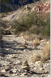
I remember being completely disoriented on the Dodson Trail of Big Bend because I could never find the next trail marker. Only after careful study and the shadow of a memory about cairns did I realize my eyes needed to be scanning for stacks of rocks, not swatches of paint.
Cairns usually appear at trail level, but on ascents and descents, they are often stacked on top of existing boulders, so the horizon can range as large as 45 degrees up or down from horizontal, depending on the terrain. A whole new neural mapping shift is required to follow cairns, and it took me almost three years to make it my new default. So, in addition to the snake horizon, the cairn horizon requires more than just looking straight ahead.
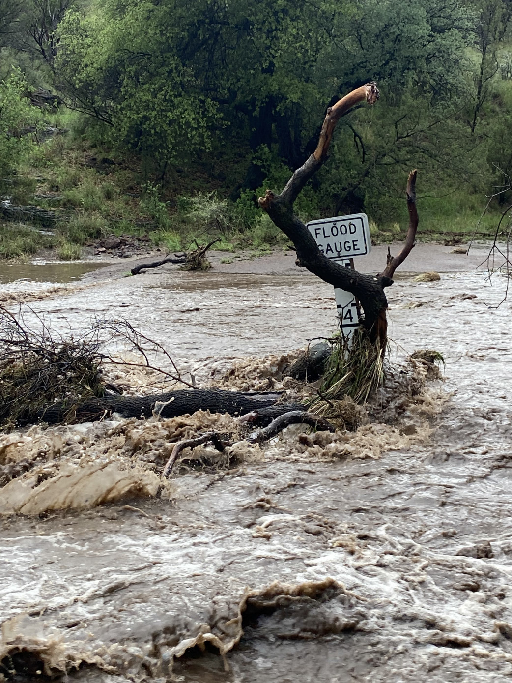
The last horizon deals with storms, which are not terribly hard to notice if they form in the direction of your travel, but too often they form behind you, and come sweeping down upon you right before you’re about to summit the highest point in the park. I thought I had learned this lesson on the Barr Trail up Pike’s Peak in Colorado, but I needed a reminder at Davis Mountains State Park last spring. I clocked some fluffy white clouds building beyond McDonald Observatory on my way up the Limpia Creek Trail, but I lost them as I turned onto the Sheep Pen Canyon Loop Trail.

When I reached the Limpia Creek Vista and turned around, those fluffy white cumulus clouds had transformed into a menacing, dark thunderhead, which put me to flight back down the trails and eventually drenched me miles from my vehicle. The final horizon is the sky, and not just the sky up ahead of you, but the sky all around you.
Have fun hiking in Texas this spring, and don’t forget to check your six.