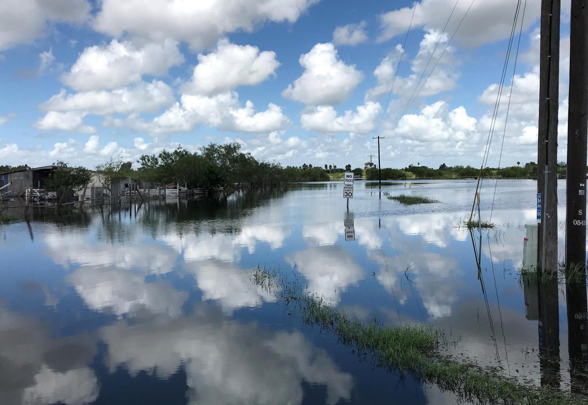
This image shows flooding in the Rio Grande Valley following Hurricane Hanna in July 2020. It is hard to imagine in this drought and excessive heat that Texas might experience another event.
Photo provided by Texas Water Development Board
Board approves regional flood plans
The Texas Water Development Board approved the first-ever regional flood plans during the July board meeting, marking a historic milestone in the state’s efforts to reduce the risk and impact of flooding.
The regional flood plans will lay the foundation for Texas' first state flood plan, which is due to the legislature in September 2024.
This first regional flood planning cycle was established in 2019 by Senate Bill 8 in the wake of devastating flooding in Texas.
The process is a first-ofits- kind, watershed-based planning effort made up of 15 regions with volunteer representatives from various interest categories.
While the first cycle was completed under an abbreviated timeframe, subsequent planning cycles will be every five years.
Because Texas’ rainfall patterns and land coverage vary greatly across the state, each planning group developed custom plans unique to the region’s flooding issues.
The planning groups identified specific flood risks including flood hazard, exposure, and vulnerability of flooding as well as recommended studies, projects and strategies to mitigate those risks.
The flood hazard analyses determined the location, magnitude, and frequency of flooding.
'The goal of this process is not only to reduce the risk of flooding for people who are already at risk, but to also not create additional flood risk or put people in harm's way in the future,” said Reem Zoun, Director of Flood Planning at the TWDB.
Before this first planning cycle, 63 counties in the state had no flood hazard information. To fill the gaps in areas without existing data, the TWDB worked with the flood modeling company Fathom to calculate flood risk using lidar (light detection and ranging) and rainfall data.
For the first time, there is now some level of flood hazard information for the entire state.
The plans found that over 2.4 million people in Texas live within a 100year floodplain, meaning the area has a 1 percent chance of flooding in any given year. Another nearly 3.5 million people live in a 500-year floodplain. The 15 regional flood plans recommended over 200 flood mitigation projects with an estimated cost of approximately $38 billion.
The first state flood plan, which is currently being drafted by the TWDB, will be one comprehensive plan that summarizes the findings from the regional flood planning groups.
The statewide plan will include the recommended flood mitigation projects from the regional plans, making them eligible to receive financial assistance through the Flood Infrastructure Fund.
To view each regional flood plan, visit the TWDB website at https://www.twdb.texas. gov/flood/planning/regions/ index.asp.