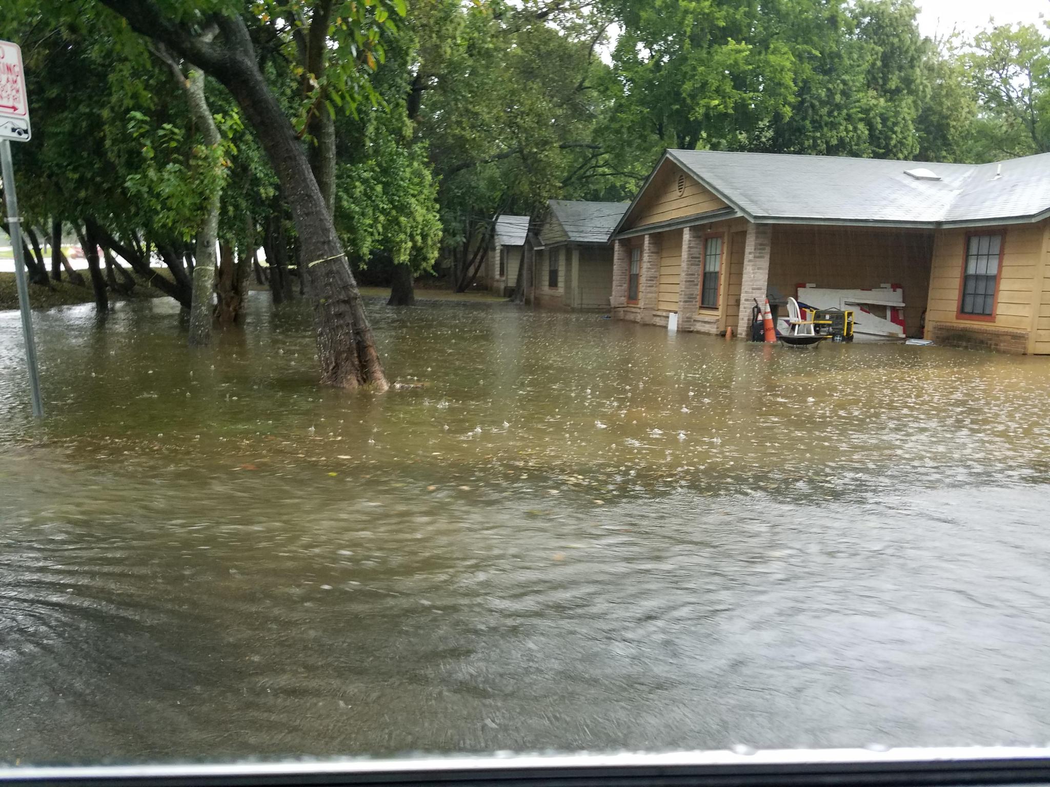
Heavy rain and runoff contributed to filled front yards on Orchard Street off Sessoms on Sunday morning. Daily Record photo by Gerald Castillo
It’s Flash Flood Alley, folks
The lesson of living in Flash Flood Alley comes to everyone at some point. For newcomers to San Marcos like incoming freshmen at Texas State University, it was Sunday morning, when up to five inches of rain fell over portions of San Marcos in a relatively short span of time.
Hays and surrounding counties were under a flash flood watch that began early Sunday morning and didn’t expire until 9 p.m. The National Weather Service said Monday that even though the flash flood watch had expired locally, it was extended for counties to the south. The NWS is keeping rain chances in the forecast through the end of the work week, with the most likely days (40 percent chance) on Wednesday and Friday.
In San Marcos, according to Police Chief Chase Stapp, officers responded to a half dozen auto accidents between 4:30 a.m. and 9 p.m. Sunday, though none that resulted in serious injury.
San Marcos street closures included Cape Road, McGehee near Mariposa, the 400 block of Linda Lane, River Road at the railroad trestle and Old Bastrop Road at Cottonwood Creek.
Early on Sunday, Hays County authorities sent out word that both Jacob’s Well Natural Area and Five Mile Dam Park, were closed. Jacob’s Well was still closed to swimming on Monday, though the area’s trails were open for hiking.
Forecasters had predicted the rain, as always adding the caveat that it could be locally heavier at some locations.
Meanwhile, the NWS is keeping its eye on a system in the northwest Caribbean that may develop over the next five days.
“As this system moves slowly northwestward towards the Texas coast mid to late this week, conditions will become more favorable for a tropical depression or storm to develop. Exact details about timing, strength, and track are difficult to determine at this time because of how weak the system currently is, but additional updates will be provided should further development occur,” the service said.
“Regardless of development, rain chances are expected to increase next weekend as moisture from this system reaches the region.”